|
|
 |
|
|
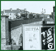
GWR Route: Alcester to Hatton Junction
Claverdon Station: gwrc3854
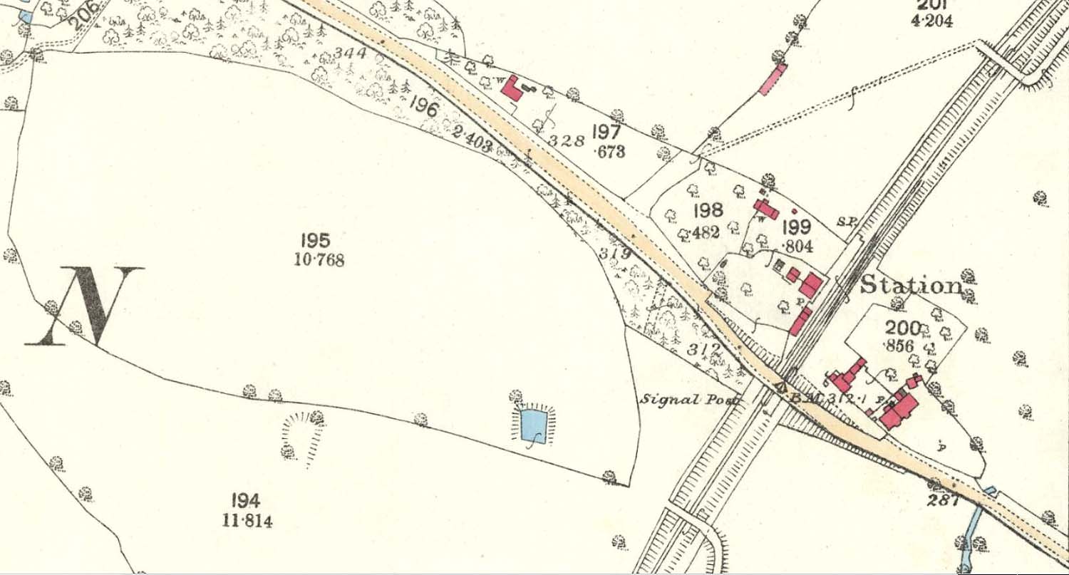
An 1886 25 inches to the mile Ordnance Survey Map showing
Claverdon Station and the single siding goods yard. In this view the 'goods
yard' can be seen to be a single siding accessed only from the Hatton end of
the single line. The station in its first and single line iteration was built
on the 'East' side of the main Henley to Warwick road bridge, the bridge in
fact later being the demarcation between 'Station Road', which was on the
Henley side of the railway and Gannaway Road which was on the Warwick side of
the railway.
 back back
|
|
|