|
|
 |
|
|
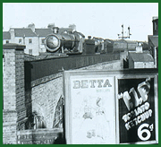
GWR Route: Alcester to Hatton Junction
Claverdon Station: gwrc3856
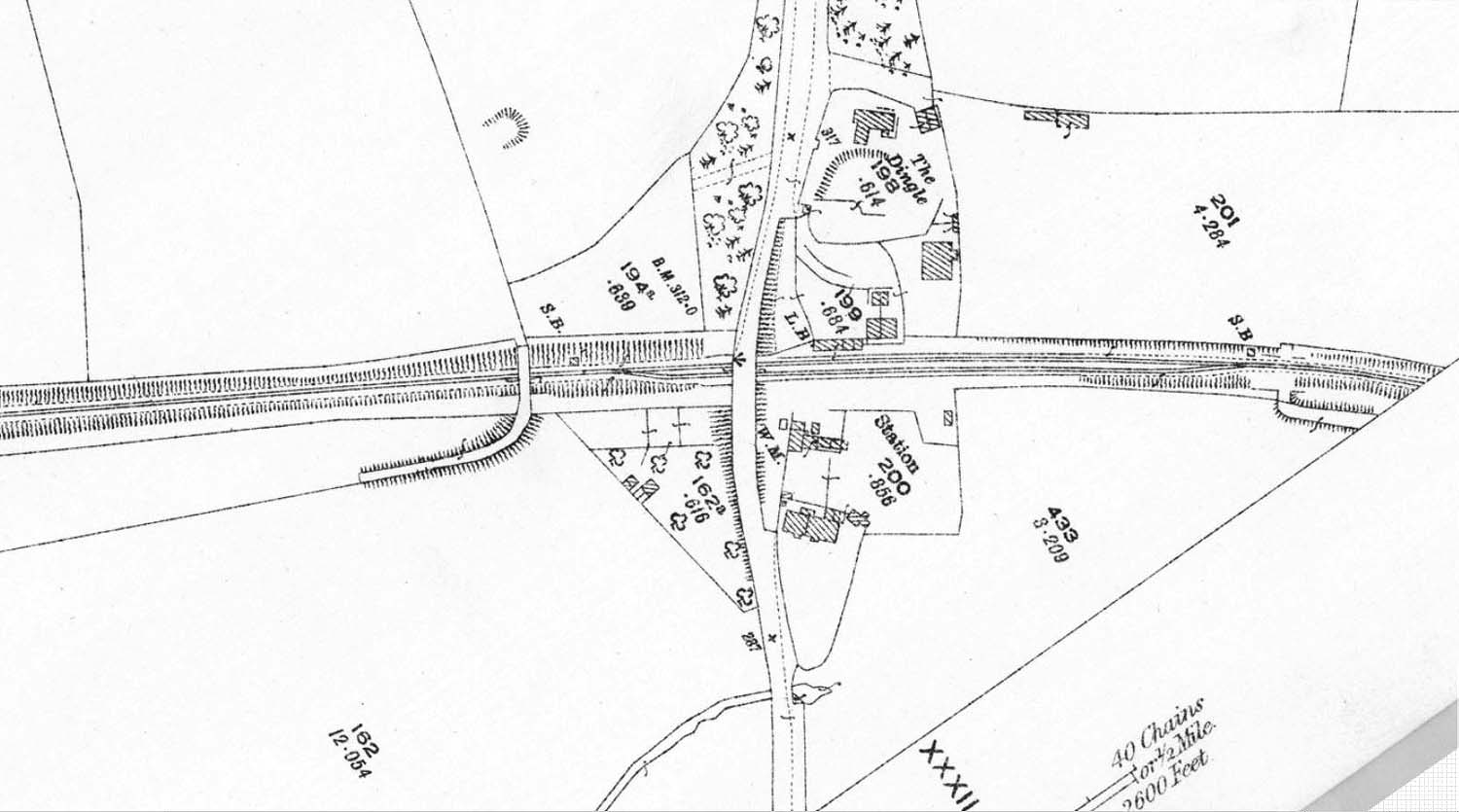
An 1923 25 inches to the mile Ordnance Survey Map showing
Claverdon Station and the single siding goods yard. The entrance to the goods
yard can be seen to be at the bottom of the map adjacent to the building
accommodating two houses. Behind this structure are what are thought to be
buildings associated with the local merchants and a Weigh Bridge Office with
its weigh bridge shown as a small rectangle and marked with the letters 'W'
'M'.
 back back
|
|
|