|
|
 |
|
|
GWR Route: Banbury to Wolverhampton
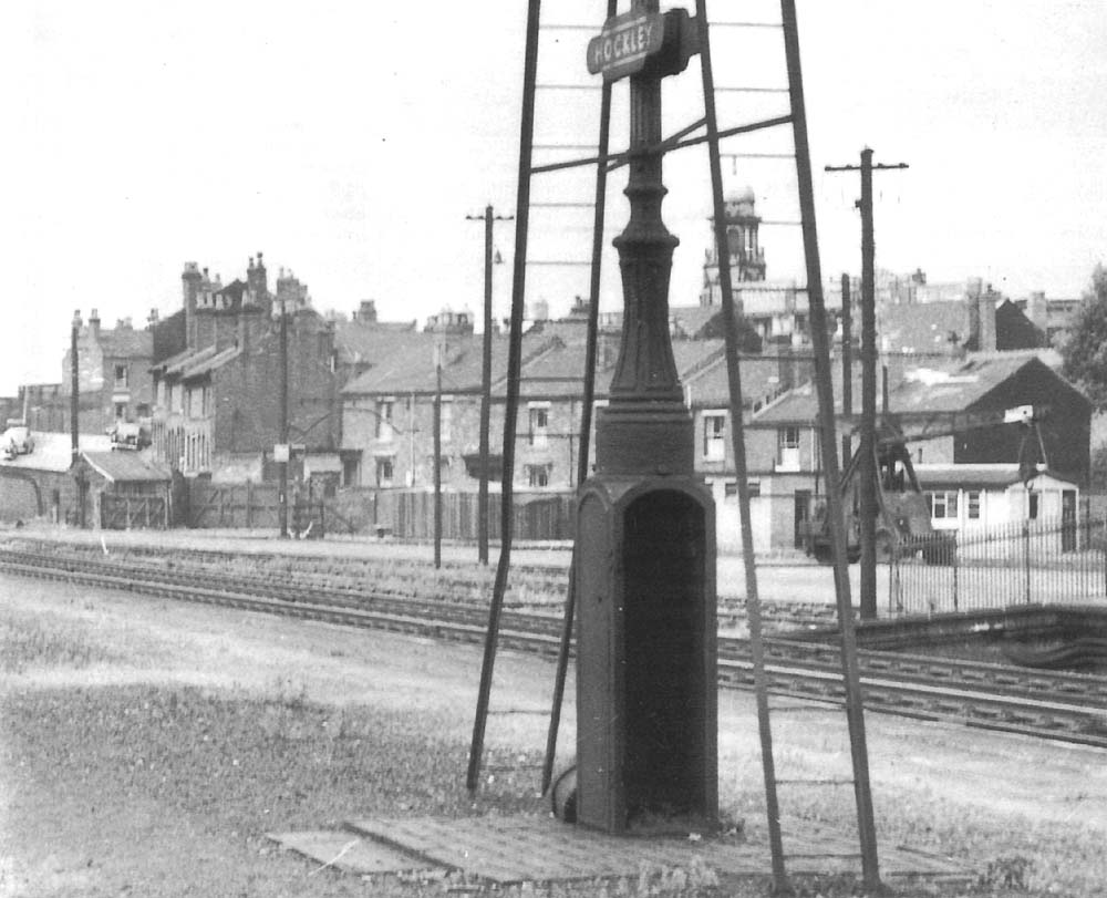
Hockley Station: gwrhd3191
Looking across to the All Saints' Road entrance to Hockley's
goods yard facilities sited on the up side of the station. To the right of the
lamppost is a motorised mobile crane. The close up of the
1913 Ordnance Survey map shows a weighing machine
had been installed adjacent to the gate by this date. This area was primarily
undeveloped with the close up of the 1888 Ordnance Survey
map showing only a single or possibly two sidings inside a fenced area
serviced by a travelling crane. By the turn of the century, as shown by the
close up of the 1902 Ordnance Survey map, the area
had been fully developed with a single siding accessing the Cattle Pens built
on the boundary wall with All Saints' Road, plus ten additional sidings laid
out across the site. The map does not reference a travelling crane but both the
1888 and 1913 Ordnance Survey maps do so it would be highly probably one did
exist, just omitted in error.
 back back
|
|
|