|
|
 |
|
|
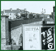
GWR Route: North Warwickshire Line
Hall Green Station: gwrhg2925
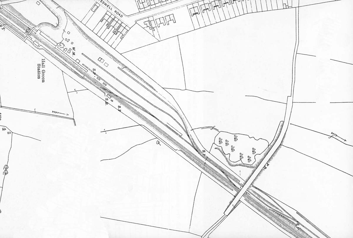
A 1916 Ordnance Survey map of Hall Green showing the
station, goods yard and 'contractors' sidings. Vic Mitchell and Keith Smith in
their book 'Stratford upon Avon to Birmingham Moor Street appear to speculate
that the contractors sidings, those to the right of the road bridge, were those
associated with the building of the line and were removed. However these
sidings were still evident on Ordnance Survey maps published in 1938 as shown
in image 'gwrhg2933'. It is not known to the writer
what their actual purpose was.
 back back
|
|
|