|
|
 |
|
|
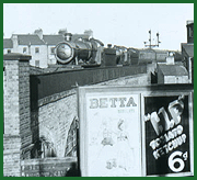
GWR Route: Banbury to Wolverhampton
Knowle & Dorridge: gwrkd2802
A 1905 Ordnance Survey Map showing refuge sidings have been
installed to both the up and down lines north of the station. The map
information states that it was actually revised in 1903 but published in
1905.
 back back
|
|
|