|
|
 |
|
|
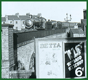
GWR Route: Stratford on Avon to Honeybourne
Sancta Lane Station and Evesham Road Crossing Halte:
gwrsanct2468
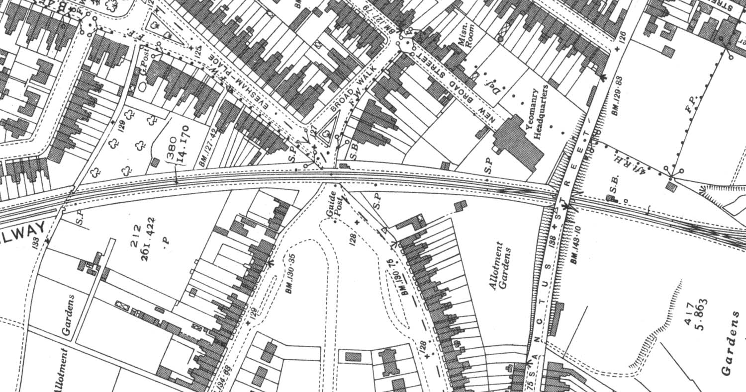
A 1939 Ordnance Survey map showing the layout and
juxtaposition of Evesham Road Crossing and Sanctus Street. Shottery footpath
can be seen on the left running through to the Evesham Road opposite Chestnut
Walk.
 back back
|
|
|