|
|
 |
|
|
London North Western
Railway:
Midland
Railway:
Stratford
Midland Junction Railway
|
|
LMS Route: Nuneaton to Coventry
Foleshill Road Station: lnwrfr4228
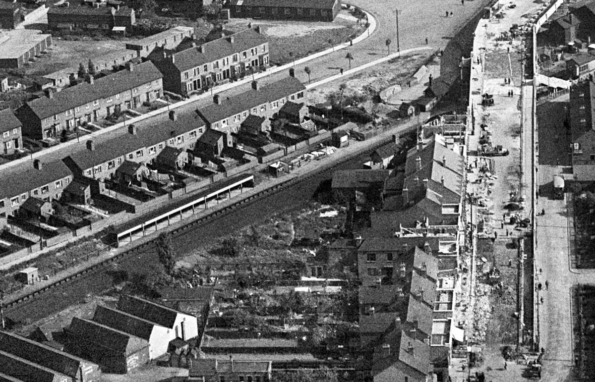
The second of several 1931 aerial photographs of the
building of Lockhurst Lane bridge over Foleshill Road station. In this view new
shops and houses are being built at the same level and alongside the new
bridge.
 back back
|
|