|
|
 |
|
|
London North Western
Railway:
Midland
Railway:
Stratford
Midland Junction Railway
|
|
LMS Route: Rugby to Wolverhampton
LMS Route: Birmingham-Soho-Perry Barr-Birmingham
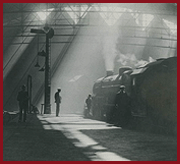
Winson Green Station: lnwrwg3415
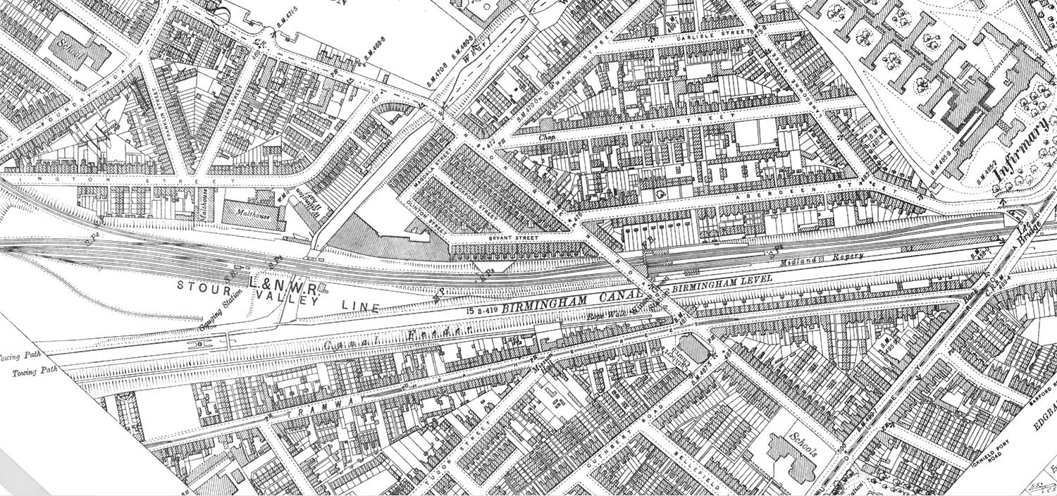 |
A 1902 OS Map showing Winson Green station, the junction
with the Soho line and the carriage sidings. The reference to 'Gauging Station'
by the carriage sidings is relevant only to the canal, it was a means of
ensuring narrow boats paid the correct fee for the load they were carrying. The
fee for using the canals was dependent on the type of cargo and its weight.
Each boat had to have four gauging plates fitted to the hull at the 'corners'
of the boat - bow and stern at each side - indicating a measurement point and a
boat serial number. The boat was calibrated by measuring the height of the
gunwales above water level at each corner with the boat unladen and then
measured again when known weights had been loaded into the boat from an
overhead gantry. These measurements were logged in toll-keeper's tables and
copies sent to every toll office within the boat's trading range. At toll
offices if a toll collector suspected an incorrect waybill (declared cargo) the
height of the four corners of the boat were checked with a gauging stick and
averaged to allow for uneven cargo loading. That boat's entry in the gauging
table was used to determine the cargo weight. The toll fee was worked out from
the weight and cargo type. The fitting and calibration of gauging plates was
done at a gauging station or indexing station. On the Birmingham Canal
Navigations (BCN) Main Line the Smethwick Gauging Station near the Engine Arm
Aqueduct was on an island, with a covered gantry in a centre channel where
boats were loaded with weights, plated and calibrated. The channels either side
allowed two-way traffic and possibly the collection of tolls. The buildings and
equipment were demolished in the 1940s.
 back back
|
|
|