|
|
 |
|
|
London North Western
Railway:
Midland
Railway:
Stratford
Midland Junction Railway
|
|
LMS Route: Evesham to Birmingham
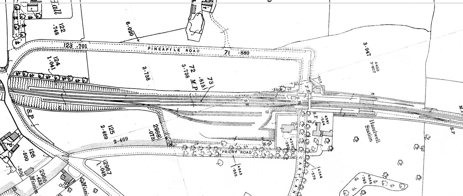
Hazelwell Station: mrhaz1994
A 1913 25 inches to the mile Ordnance Survey Map of
Hazelwell station and goods yard showing Cartland Road being divided into two
by the railway. A 1939 Ordnance Survey map shows the road bridge in place with
the footbridge remaining in place alongside the road bridge.
 back back
|
|
|