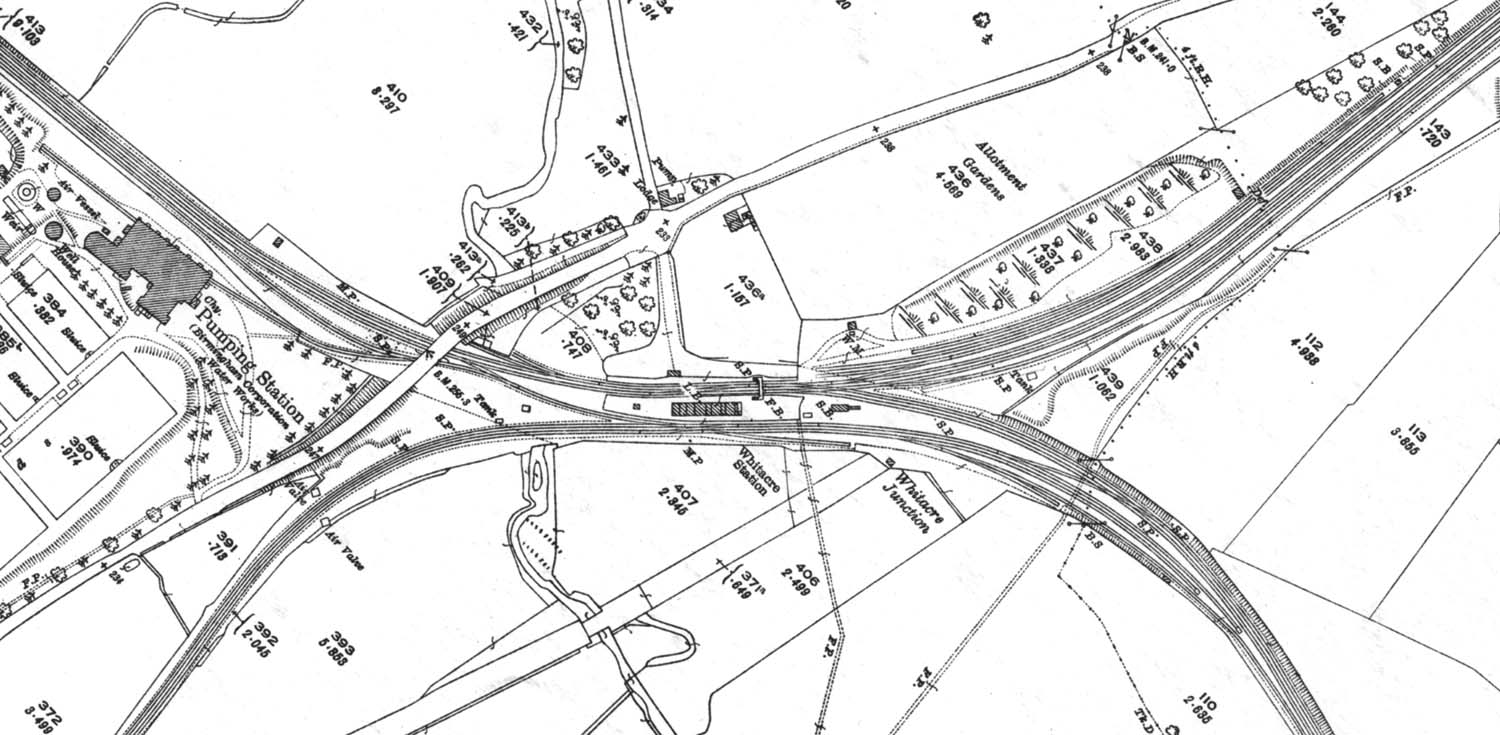
A 1923 25 inch to the mile Ordnance Survey Map showing Whitacre Station's three platforms. The most obvious difference to the 1902 map appears to be the erection of a water tank to facilitate locomotives standing in the refuge siding on the down line from Tamworth (see image 'mrwj1161'.)
|
||||||